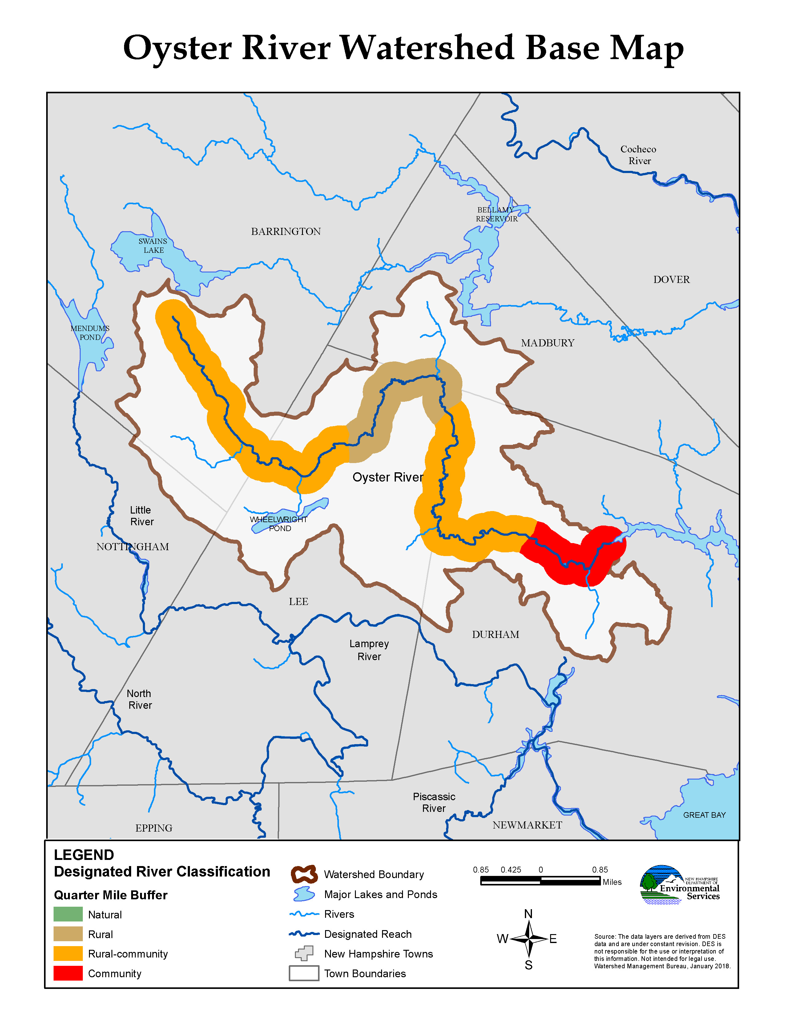
ORWA was awarded a grant to nominate the Oyster River for designation under the State’s Rivers and Management Protection Program (RMPP). The grant funded the Strafford Regional Planning Commission’s assistance with the nomination papers and public outreach.
The RMPP is based on a two-tier approach to river management and protection: 1. state designation of significant rivers and protection of instream values, and 2. local development and adoption of river corridor management plans to protect shorelines and adjacent lands. The nomination process occurred over a two year period and included public outreach and education sessions. You can find out more about the nomination and designation here.
Volunteer River Assessment Program Monitoring (VRAP):
ORWA, in partnership with the NH Department of Environment Services (NHDES), has been monitoring the water quality of the Oyster River since 2000. VRAP is a volunteer-driven water sampling program to assist NHDES in evaluating water quality throughout the state. VRAP empowers volunteers with information about the health of New Hampshire’s rivers and streams. Regular collection of water quality data allows for early detection of water quality changes allowing NHDES to trace potential problems to their source. Data collected by VRAP volunteers are directly contributing to New Hampshire’s obligations under the Clean Water Act. Measurements taken by volunteers are used in assessing the water quality of New Hampshire’s river and streams, and are included in reporting to the US Environmental Protection Agency (EPA). If you would like to volunteer, click the link to the right.
You can learn more about VRAP and view some of the Oyster River data at the NH DES website.
Meetings:
The Association holds monthly meetings and river walks, conducts outreach and educational activities throughout communities in the watershed, and sponsors water quality monitoring through the NH Volunteer River Assessment Program on the Oyster River. Monthly meetings are held on the fourth Thursday of the month at 7:00pm at the new Madbury Public Library at 11 Town Hall Rd. We welcome all interested parties. We are currently not meeting, but hope to begin again soon.
The Google map needs location updating, but it is close.
You can contact us through email at: orwa@oysterriver.org
The purpose of the Oyster River Watershed Management Plan is to create a platform for conversations regarding the long-term protection and management of the natural resources within the Oyster River watershed. 2001.
Click here to download the Plan (5.54mb, pdf, without maps).
...
In February of 2014 a summary of the Water Quality Data from the Oyster River VRAP monitoring was completed. The Report analysis data from 2001 to 2011. Click here to download the report.
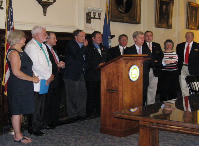
Governor John Lynch signs legislation to include the Oyster River in the NH River Management and Protection Program.